
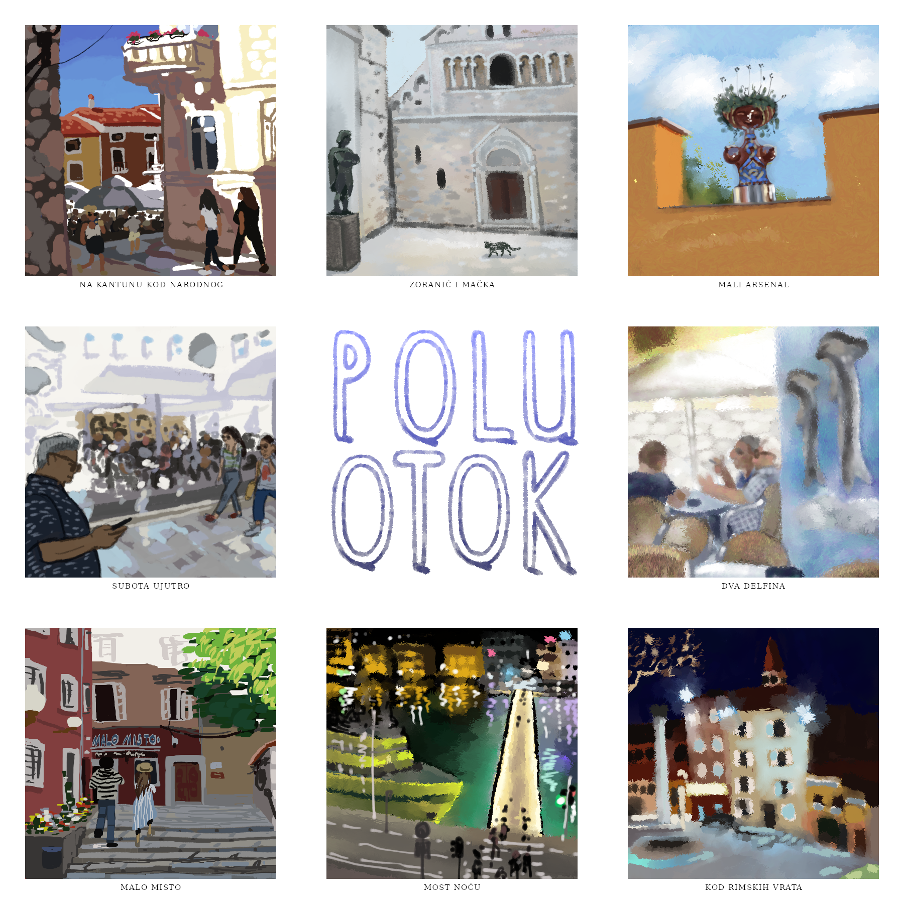


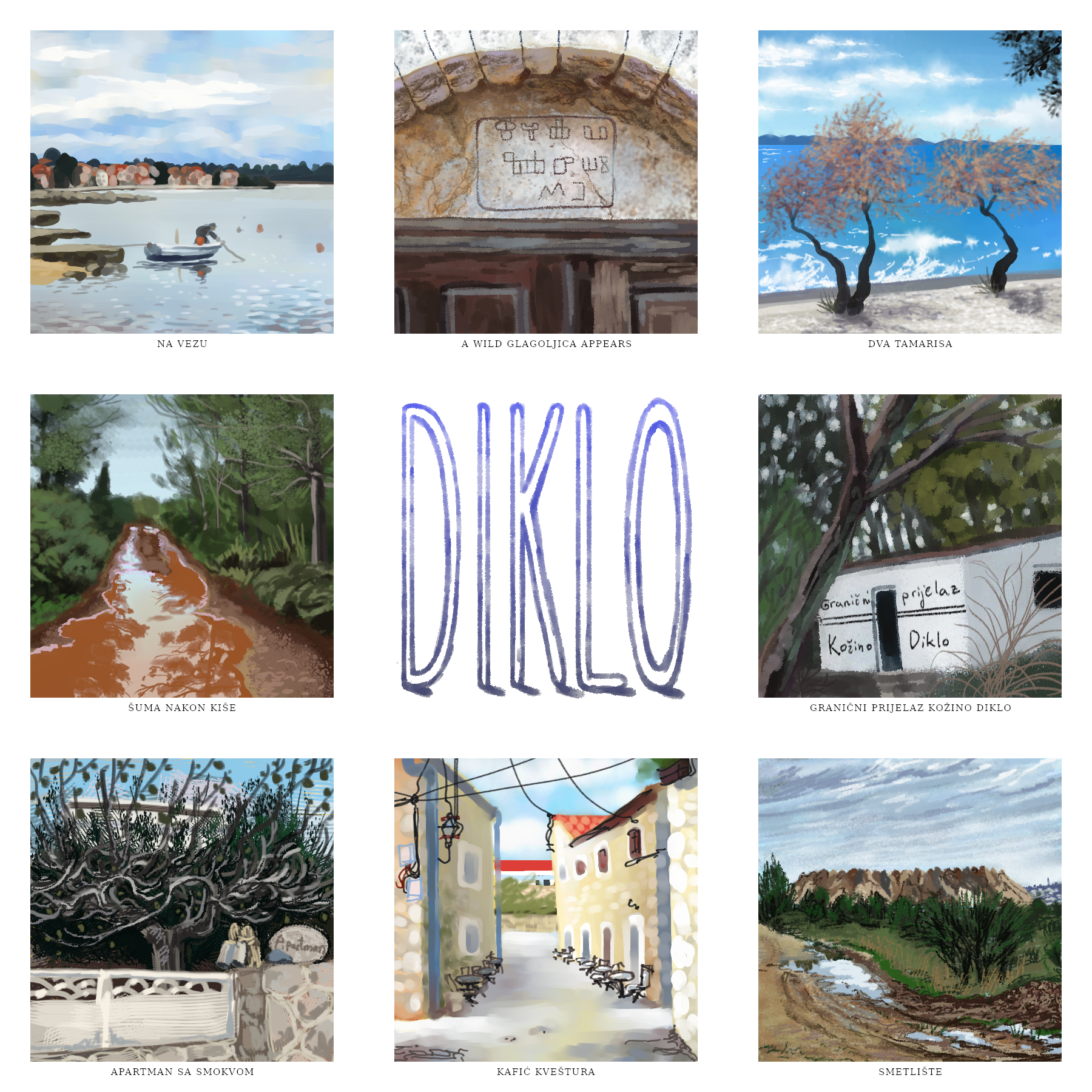

The arbitrary parameters I set for myself:
• find out the official borders of the administrative divisions of my hometown (Zadar) -> Turns out, no map exists, only a written description. So I mapped it myself, following the description. I hope it’s accurate, but if it isn’t, no matter – that’s not really the point.
• in the spirit of psychogeography, walk the borders of the districts as closely as I can. This method takes me to new places in a city that I thought I was extremely familiar with. The districts I completed are marked with a fill on my map.
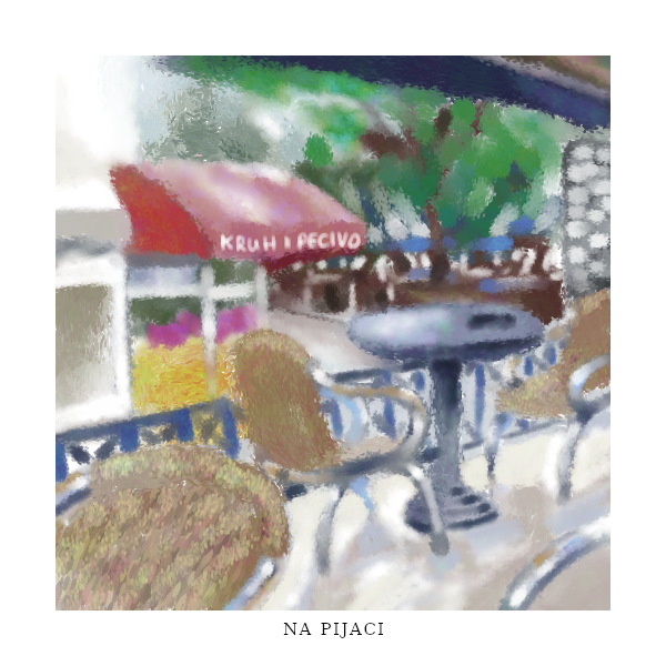
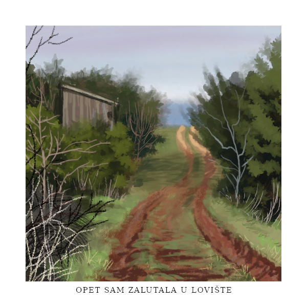
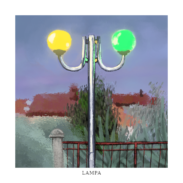
• take photos on my walks.
• use the photos as reference for making speedpaint studies. Each painting is done under 30 minutes. I avoid using the eyedropper. I use this as an opportunity to try out new tools and brushes.
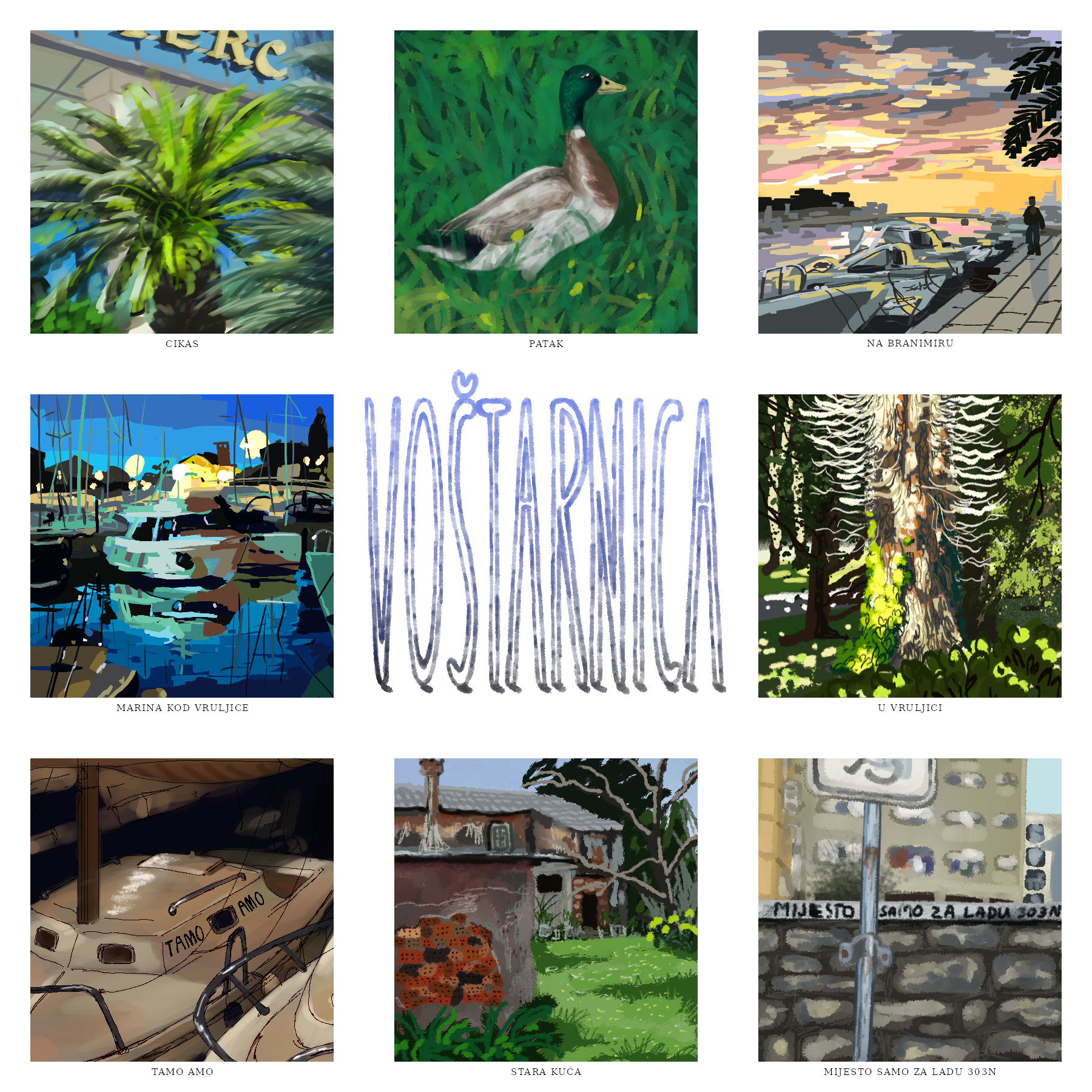
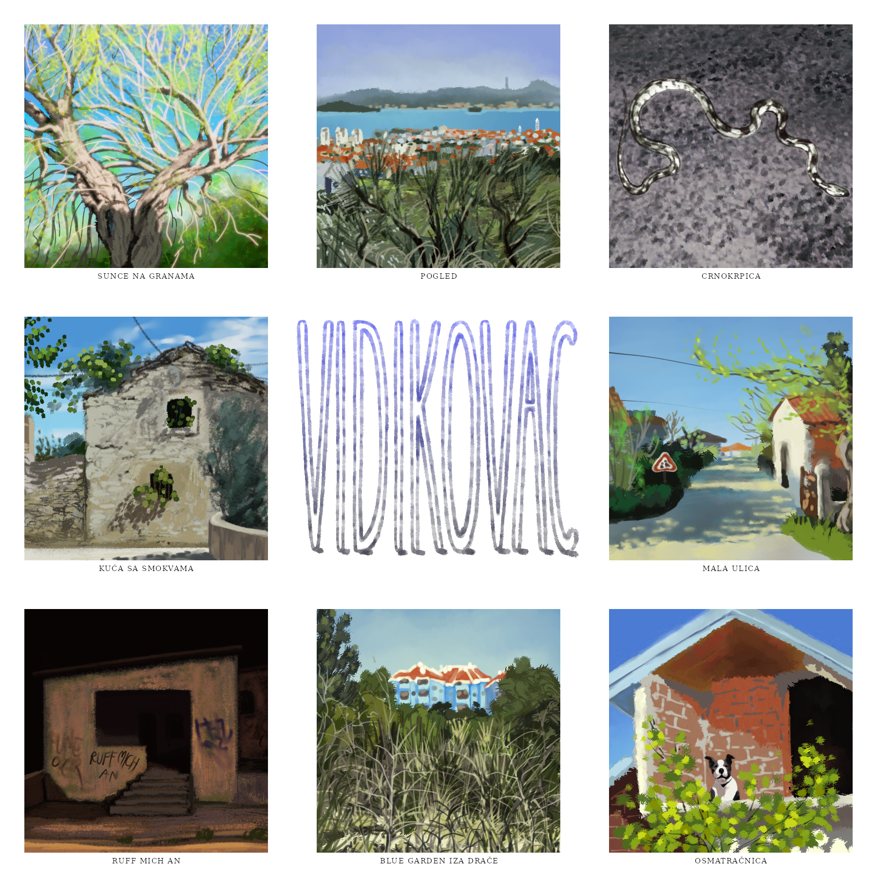
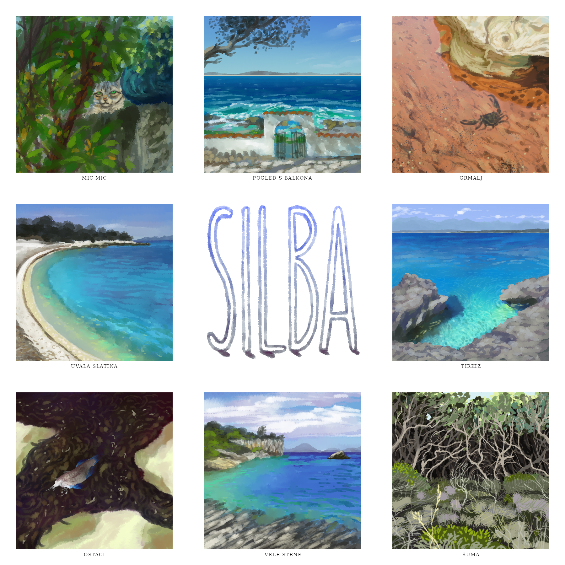
• each painting is only 500x500px, 600x600px including the white border. I choose my favourite 8 paintings from a district and make a compilation image.
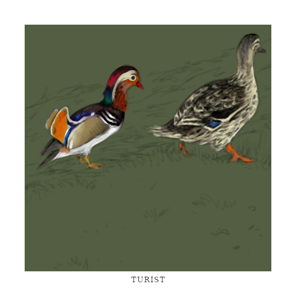
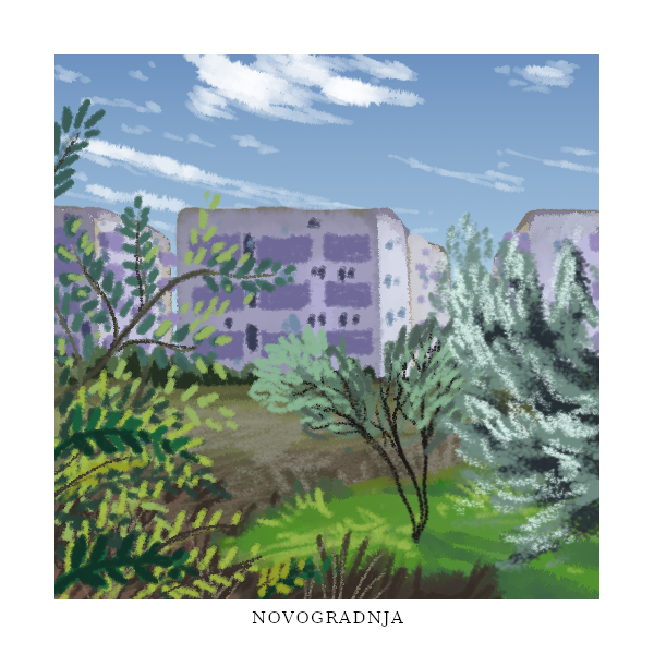
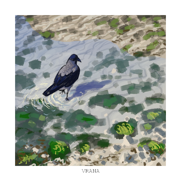
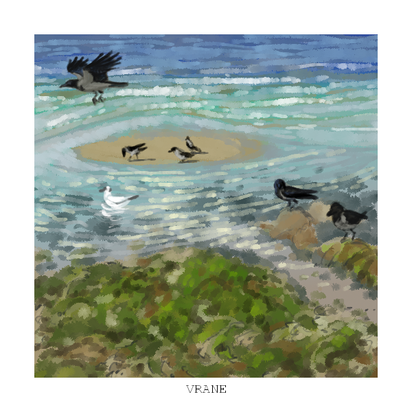
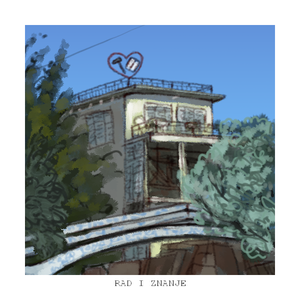
Here is a selection of paintings that didn’t make the cut, but I still like them:


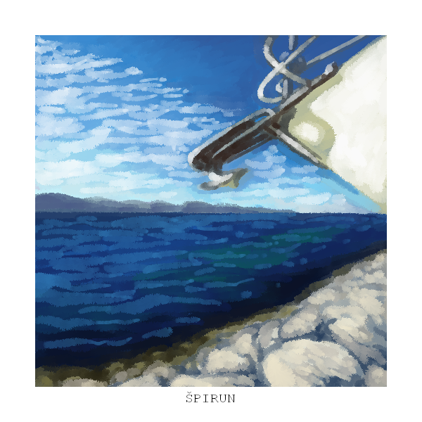


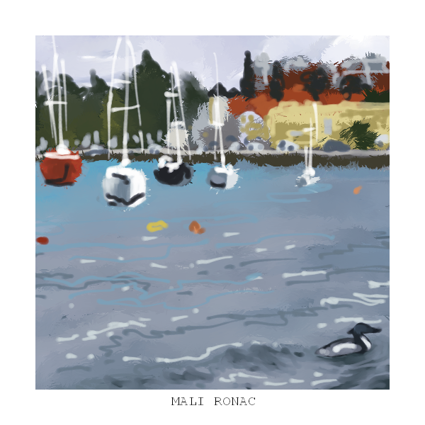


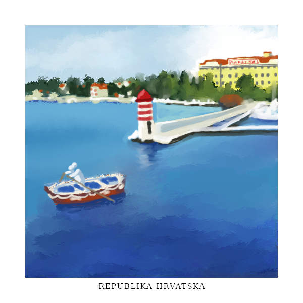
At some point, I decided to approach the topic from the opposite direction, parallel to painting the districts: that is, painting 1 image per country. Including only the ones I have visited, of course – because those are the ones I have photos of (and I’m using exclusively my own photos for this project). I typically do one of these after finishing one entire district of Zadar. These are the paintings I have so far: